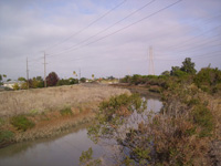
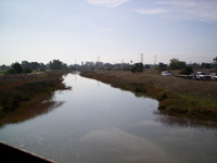
San Francisquito Creek Hydraulic Modeling & Floodplain Mapping
San Francisco, CA
The purpose of this study was to produce and/or update the existing floodplain mapping along the San Francisquito Creek from HWY 280 to the San Francisco Bay. An unsteady HEC-RAS model was developed based on the steady model. By applying the flow hydrographs and representing the potential flow breakout locations as lateral structures, this unsteady model was able to predict the flow breakout from the creek during the extreme flood events and would predict the flood conditions along the creek more realistically and more accurately.
The unsteady HEC-RAS model was re-calibrated using three historical flood events. After the coincident frequency analysis (CFA) was performed by the Corps, this model was further revised, with the downstream boundary condition being updated with the water stages determined in the CFA for the index station. The flow condition for the San Francisquito Creek was predicted with the revised unsteady model for eight flood events with the return periods of 2, 5, 10, 25, 50, 100, 250, and 500 years. The breakout flow hydrographs at all the breakout locations along the creek were determined based on the model results, and were input into the FLO-2D model as inflow hydrographs. The floodplain modeling was then conducted using the FLO-2D model, and the floodplain maps were generated in ArcMap.

