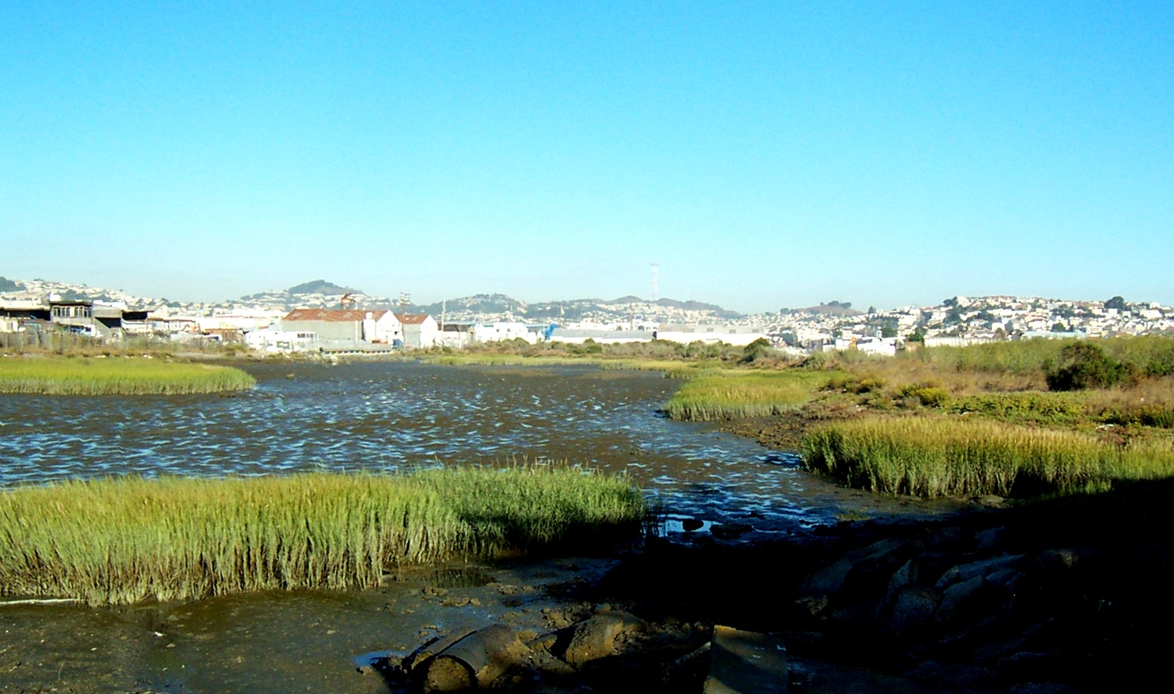
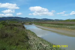
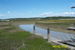
Yosemite Slough Wetlands Restoration
San Francisco, CA
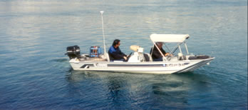
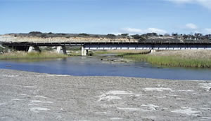
The Yosemite Slough Wetlands Restoration is currently an on-going project. Yosemite Slough is part of the Candlestick Point State Park Recreational Area. The purpose of the project is to expand wetlands in the area, provide public access, and improve wildlife habitats. A previous phase of the project involved developing alternatives, estimating construction costs, and preparing a feasibility report. NCI is responsible for hydrodynamic analysis, surveying, preparing grading plans, designing public paths, preparing construction cost estimates, and preparing contract documents.
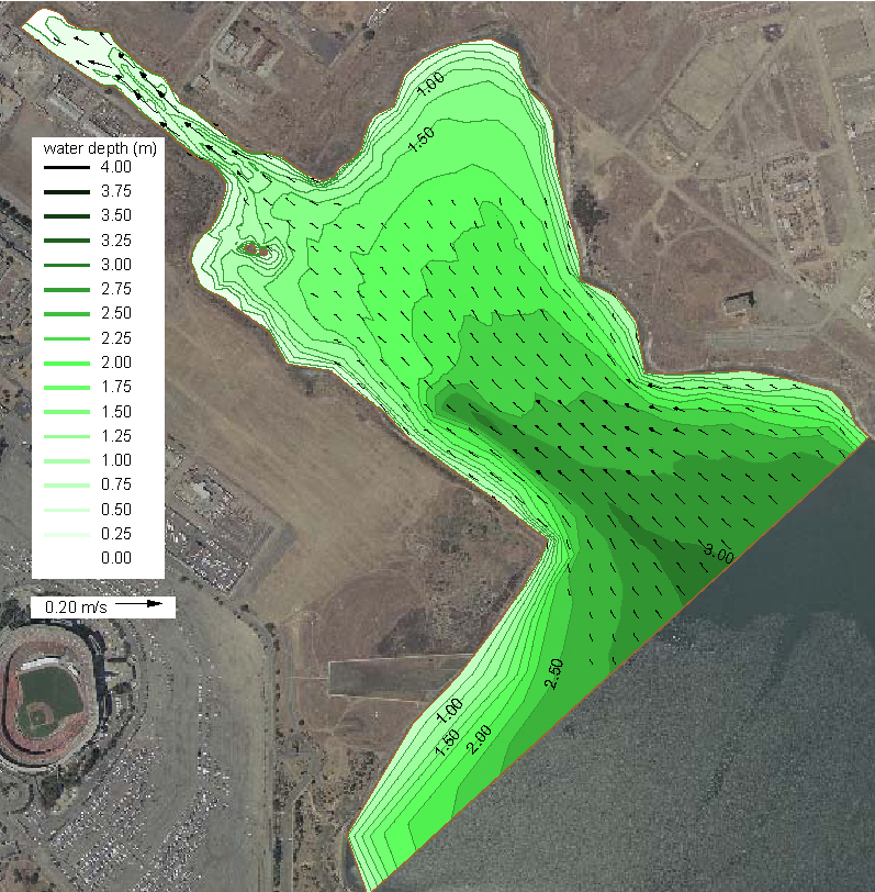
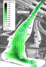
Design will consider, and dispose of as necessary, contaminated sediments in the area. The modeling study was part of the wetland restoration project and includes both the hydrodynamic simulation and sediment transport simulation for the Yosemite Canal and South Basin. The RMA2 model within the Surface-Water Modeling System (SMS) was used for the hydrodynamic simulation and the SED2D model was applied for the sediment transport simulation.