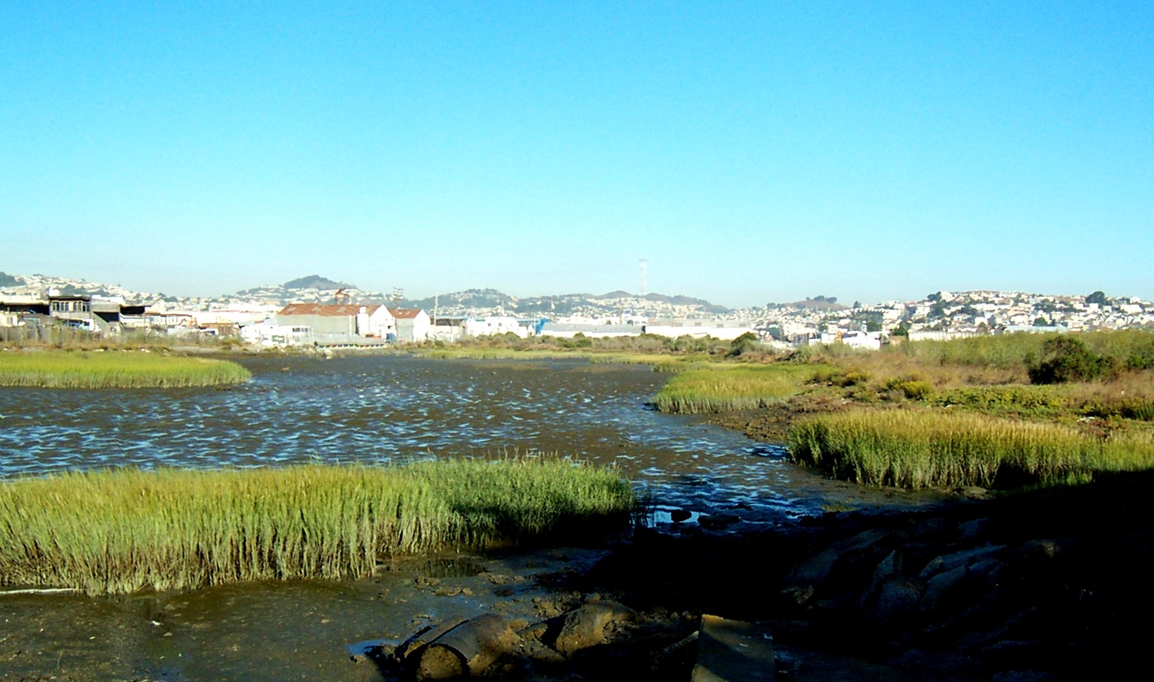
NCI prepared the Section 905(b) analysis to determine the viability of providing shore protection and environmental restoration, and the Project Management Plan to itemize the various tasks and schedules of the feasibility phase study along the coastline of the Cities of Encinitas and Solana Beach including a coastal wetland area, the San Elijo Lagoon. The planning objectives of the study included the reduction of coastal storm-related damage while improving the hazardous conditions caused by episodic bluff failure, increasing the recreational values of the region by improving area beaches, maintaining the Old Highway 101 corridor during storm events, and the enhancement of the ecological and hydrologic system within the San Elijo Lagoon and adjacent beaches.
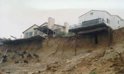
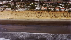
NCI is currently conducting a feasibility-level evaluation of storm damage and bluff erosion potential within the Encinitas/Solana Beach shoreline. The Cities’ 7.9-mile shoreline was investigated in detail to assess storm damage potential associated with shoreline erosion, seacliff retreat, and wave related folding of sandy and cobble beach areas. A without-project-condition (F3) study report was completed in February 2003. The scope of study included a comprehensive geotechnical evaluation of marine related and sub-aerial bluff erosion processes, a coastal engineering analysis to summarize relevant oceanographical and sediment transport conditions, and prediction of future damages to property and infrastructure under the consideration of federal interest involvement. Episodic bluff failure was modeled through a combined Monte Carlo simulation that includes characteristics of the bluff’s geologic make-up and the randomness of wave climate within this region. Based upon the findings of the modeled bluff failure scenarios, various engineering alternatives (F4) to reduce storm damage and prevent bluff failure are being formulated. Proposed plan alternatives will be evaluated in terms of engineering, economic and environmental merits. The potential measures that are being investigated include beach nourishment with or without sand retention structures, innovative cobble berm construction, and various seawall and revetment scenarios, etc. This study also incorporates the Geographic Information System (GIS) to integrate all collected historic field data and to-be-conducted field survey so that local governments can continuously update the GIS database.