Project Categories

Home    Projects   Coastal Engineering    Hydraulic Modeling

Hydraulic Modeling

Water Stage, Flow Hydrograph, Rating Curve, and Rainfall Intensity-Duration Curve

Listed below are many of the projects we’ve completed for our clients over the years. We’ve chosen to focus and expand on several key examples which are highlighted in blue. Clicking on those projects allows you to view in-depth what services NCI provided as well as details on the project itself.

San Francisquito Creek Hydraulic Modeling & Floodplain Mapping

San Francisco, CA

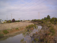
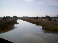
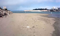
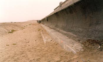
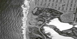
The purpose of this study was to produce and/or update the existing floodplain mapping along the San Francisquito Creek from HWY 280 to the San Francisco Bay. An unsteady HEC-RAS model was developed based on the steady model. By applying the flow hydrographs and representing the potential flow breakout locations as lateral structures, this unsteady model was able to predict the flow breakout from the creek during the extreme flood events and would predict the flood conditions along the creek more realistically and more accurately.


The unsteady HEC-RAS model was re-calibrated using three historical flood events. After the coincident frequency analysis (CFA) was performed by the Corps, this model was further revised, with the downstream boundary condition being updated with the water stages determined in the CFA for the index station. The flow condition for the San Francisquito Creek was predicted with the revised unsteady model for eight flood events with the return periods of 2, 5, 10, 25, 50, 100, 250, and 500 years. The breakout flow hydrographs at all the breakout locations along the creek were determined based on the model results, and were input into the FLO-2D model as inflow hydrographs. The floodplain modeling was then conducted using the FLO-2D model, and the floodplain maps were generated in ArcMap.


San Francisquito Creek Hydraulic Modeling & Floodplain Mapping San Francisquito Creek Hydraulic Modeling & Floodplain Mapping

San Francisco Marina Model Study

San Francisco, CA

The San Francisco Marina consists of two harbors (West Harbor and East Harbor) which are physically separated by about one-half mile. NCI utilized two hydraulic models to assess shoaling and wave conditions at the harbors’ entrances. The two models consisted of the Corps of Engineers’ San Francisco Bay tidal hydraulic model in Sausalito and the University of California’s ripple tank model in Berkeley. The purpose of these model studies was to review the existing wave conditions at the harbors’ entrances by analyzing wave patterns in the ripple tank model; and to identify the shoaling pattern near the West Harbor entrance by observing site water currents in the tidal hydraulic model.


Alternative protection improvements consisting of shoreline spur groins and breakwater extensions were tested in the ripple tank model to assess their impacts on harbor protection. Based on the model test results, mitigation measures were recommended to minimize shoaling impact at the West Harbor entrance and to reduce wave conditions at both harbor entrances.


San Francisco Marina Model Study San Francisco Marina Model Study

Seawall Protection Structure, Great Highway

San Francisco, CA

NCI conducted a physical hydraulic model study as part of the Ocean Beach concrete seawall design. Components of the seawall included a sheet pile cut-off wall, a wave rundown dispersion bench, a sloping stepped section, a wave runup dispersion bench, and a recurved wall. The hydraulic model investigation was utilized to determine dimensions and shape of the wall for the purpose of minimizing potential wave overtopping and beach scour. In addition, hydraulic loads on the wall were determined. The tests were conducted in a wave flume at the University of Florida using an undistorted scale of 1:10. Tests were conducted for variations in structural shape, beach elevations, stillwater levels, wave heights and wave periods. For beach scour tests, the sand was modelled following Lepetit and Leroy.


Seawall Protection Structure, Great Highway Seawall Protection Structure, Great Highway
© 2024 Noble Consultants, Inc.